Black River Bottoms
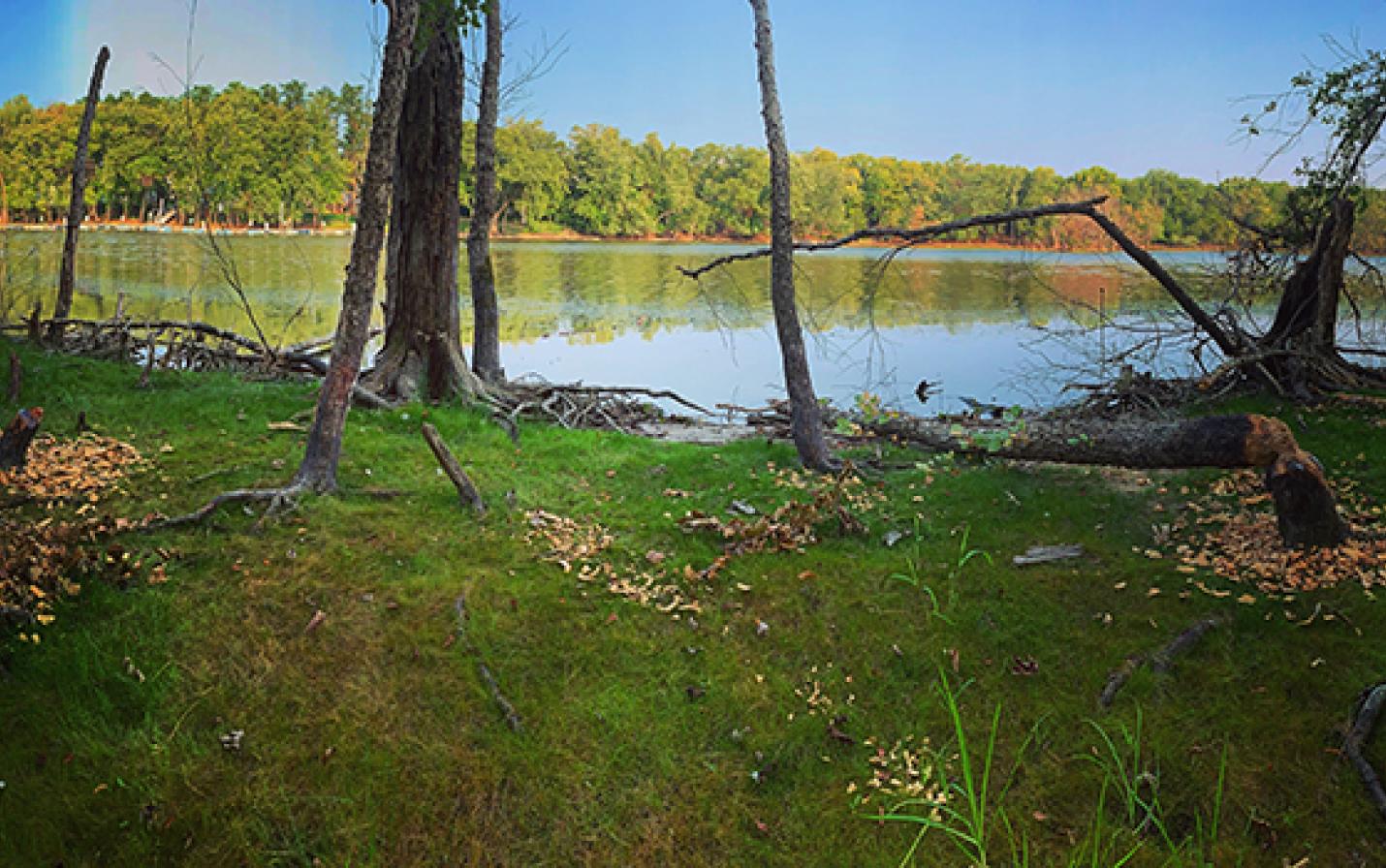
This 52-acre property, protected thanks to the generosity of Dean and Phyllis Dempsey and Albert L. Miller, is located in the Town of Campbell near the confluence of the Mississippi, Black and La Crosse rivers. It is adjacent to the U.S. Fish and Wildlife Service’s Upper Mississippi River National Wildlife and Fish Refuge.
The combination of floodplain forest and emergent marsh provides a refuge for migrating and nesting waterfowl, songbirds, fish, amphibians and an abundance of other wildlife. Floodplain forests act as sponges and buffers against floodwaters and heavy rain events—slowing, filtering, and absorbing water—a role that is increasingly important as buildings and pavement continue to replace undeveloped land.
As a part of the Mississippi River Flyway, the property provides an important stopover site for tens of thousands of migrating birds. During the breeding season, the floodplain forest offers nesting and brood-rearing habitat for the great egret (state threatened), the prothonotary warbler (a state species of special concern), and others.
The property is currently accessible only by water (see map for nearby public boat launches). Visitors may enjoy fishing, searching for rare birds, or glimpsing other wildlife like beavers and muskrats while observing the habitats that are characteristic of the floodplain.
Public access
Bikes and dogs are NOT allowed. Visitors must follow our recreational use policy as well as all federal and state laws and local ordinances. When visiting protected lands, please avoid trespassing onto the lands of neighboring property owners.