Eagle Eye State Natural Area
Eagle Eye State Natural Area is a 70-acre tract of land within the Cade Archaeological District. This land was protected through a partnership between Mississippi Valley Conservancy, Mississippi Valley Archaeology Center, The Archaeological Conservancy, and the State of Wisconsin’s Knowles-Nelson Stewardship Program.
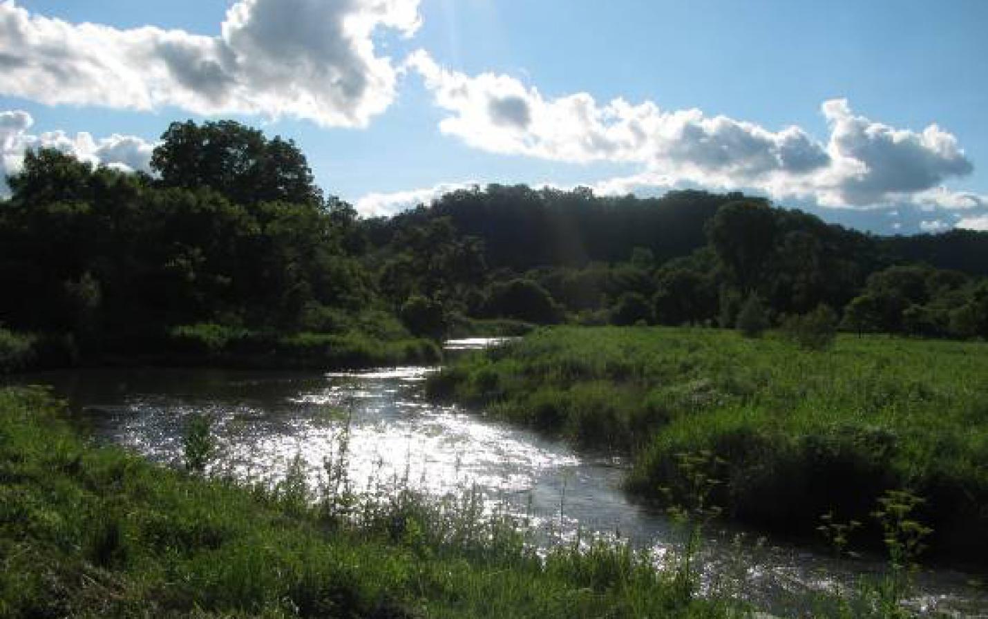
The site includes scenic ridgetop bluffland, including native goat prairie, oak opening, sandstone cliffs and rock shelters, forest, wetlands, and a portion of the Bad Axe River. This area is a popular trout fishing location only ¼ mile west of Duck Egg County Park. The land is now open to the public for hiking, hunting, fishing, snow-shoeing and cross-country skiing.
This property is owned by The Archaeological Conservancy. For more information, please visit their website.
70-acre
From La Crosse, WI: Head south on State Highway 35 and turn left onto County Road K to Chaseburg. From Chaseburg, stay County Road K for 2.7 miles. Turn left/east onto County Road O (turn left then right to stay on O) for almost 5 miles. Turn left/east onto Upper Newton Road for just over 1 mile and look for the MVC sign. The property is to the north of Upper Newton Road just past the driveway at E4337 Upper Newton Road.
From Viroqua, WI: Head west out of town on State Highway 56 for almost 8 miles and turn right/north onto County Road O. Follow O for 3.6 miles and turn right/east onto Upper Newton Road for just over 1 mile and look for the MVC sign. The property is to the north of Upper Newton Road just past the driveway at E4337 Upper Newton Road.