Tunnelville Cliffs

Along the east branch of the Kickapoo River in Vernon County sit multiple spectacular Conservancy-protected properties, including Tunnelville Cliffs State Natural Area and the adjacent Kings Point Farm Tract.
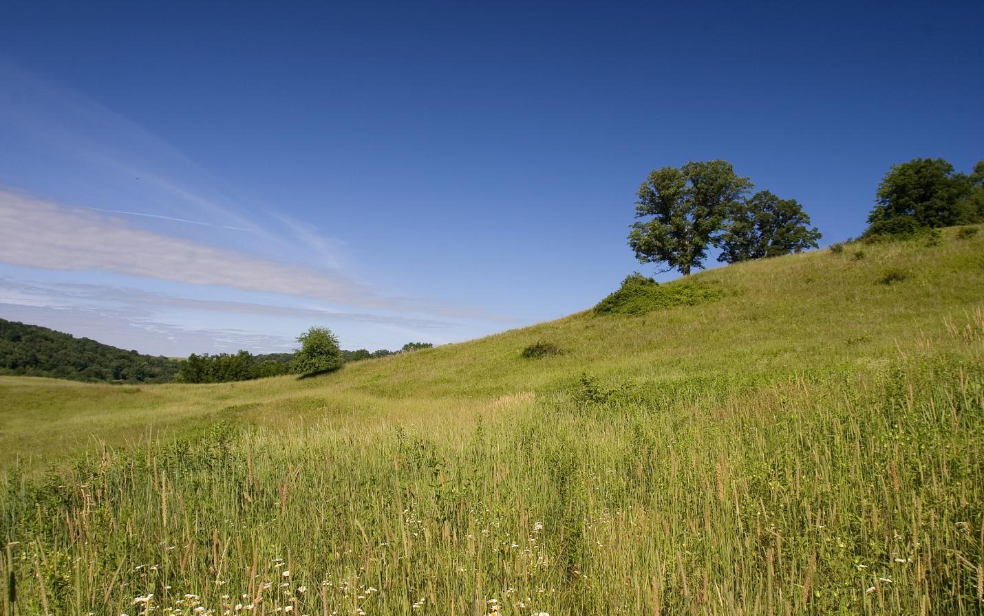
Mississippi Valley Conservancy permanently protected Tunnelville Cliffs in May 2005. Among the many noteworthy features of the nature preserve are east facing Cambrian sandstone cliffs with seepages at the base, the Kickapoo River and an associated wetland, a small goat prairie, wooded ridges and a hilltop with a fantastic overlook of the valley.
In December 2009, 1,118 acres of additional land, on the Kickapoo River north of Viola, were donated to the Conservancy. The site includes springs, creeks, over 9,000 feet of frontage on the Kickapoo River, forests, cliffs, prairie, sedge meadow, and open grasslands and adjoins the initial 153-acre land purchase from 2005. The combined total acreage equals 1,271 acres.
This nature preserve provides a great property to visit any time of the year with wildflowers and sand hill cranes in the spring, the lush greenness of summer, changing colors of fall, and icicles on the cliffs to see in the winter. It also has two excellent stargazing locations that are shown on the trail map. The property is part of the proposed Kickapoo Valley Dark Sky Park.
Public access
Bikes and dogs are NOT allowed. Visitors must follow our recreational use policy as well as all federal and state laws and local ordinances. When visiting protected lands, please avoid trespassing onto the lands of neighboring property owners.
TV news stories about this project
2,278 contiguous acres
Find Nature's Treasures at each of these trails:
Note that there are multiple access points to this land, as well as two different hiking trails. See trail map for details.
If you're coming from Viroqua or other nearby towns, simply take Hwy 82 to Husker Hollow Road and then up the hill on Husker Hollow Road to Tunnelville Rd.
Tunnelville Cliffs:
Eastern Access: E11639 Tunnelville Rd. La Farge, WI 54639 (Neighboring property address)
From La Crosse take 14/61 east to Westby, in Westby turn left onto 27 for.5 miles then turn right onto Cty Rd P. Follow P until you reach County Rd D (take a right onto D). Follow D until you reach 82 and turn right on 82 and then take first left onto Husker Hollow Rd and follow until you reach Tunnelville Rd and turn left onto Tunnelville Rd and destination parking is 3 miles ahead on the right.
Center Access: Intersection of Tunnelville Rd. and Husker Hollow Rd.
From La Crosse take 14/61 east to Westby, in Westby turn left onto 27 for .5 miles then turn right onto Cty Rd P. Follow P until you reach County Rd D (take a right onto D). Follow D until you reach 82 and turn right on 82, take your first left onto Husker Hollow Rd and follow until you reach Tunnelville Rd. Access is at the intersection and parking is on the roadside.
Western Access: Near the Silo on County SS
From La Crosse take 14/61 east to Westby, in Westby turn left onto 27 for .5 miles then turn right onto Cty Rd P. Follow P until you reach County Rd D (take a right onto D). Follow D until you reach 82 and turn right on 82 and then take first left onto Husker Hollow Rd and follow until you reach Tunnelville Rd. Turn right onto Tunnelville Rd and follow until you reach County SS. Take a left on SS and follow for approx. 3 miles until you see the old silo on the right side of the road. If you see Duck Creek Road, you’ve gone too far. Parking is on the north side of SS near the silo.